Impressionen von der nordfriesischen Insel Föhr - 2014


Die Insel Föhr (friesisch Feer, dänisch Før) gehört zu den Nordfriesischen Inseln und zum schleswig-holsteinischen Kreis Nordfriesland. Der Name Föhr und das friesische Pendant Feer sind vielfältig interpretiert worden. Die aktuelle etymologische Forschung geht davon aus, dass der Name Föhr einen maritimen Hintergrund hat. Eine weitere Deutung bezieht sich auf friesisch feer „unfruchtbar“.
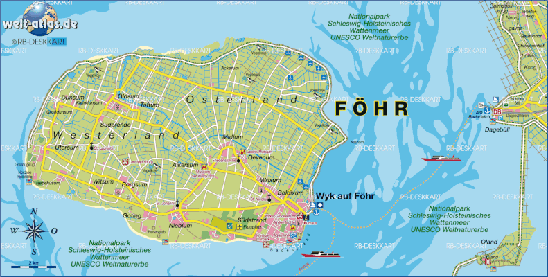
Föhr liegt südöstlich von Sylt, östlich von Amrum und nördlich der Halligen. Sie ist die zweitgrößte deutsche Nordseeinsel. Unter den deutschen Inseln ohne Straßen- oder Bahnverbindung zum Festland ist Föhr die flächenmäßig größte Insel mit der höchsten Bevölkerungszahl.
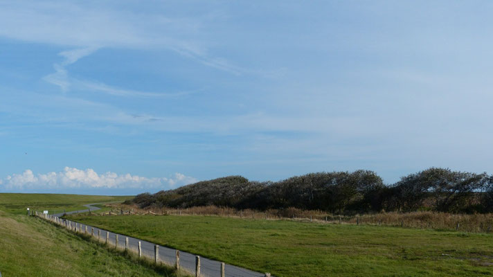
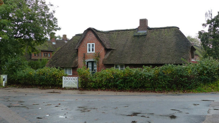
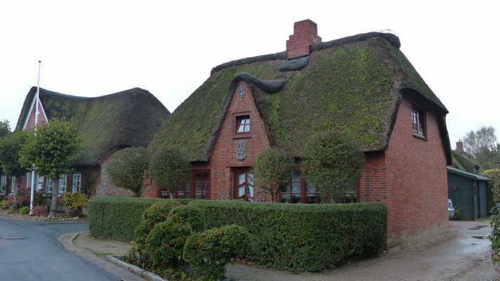
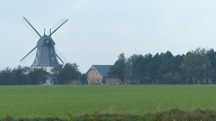
Föhr wird „die grüne Insel” genannt, da sie durch ihre Lage im Windschatten von Amrum und Sylt vor den stürmischen Einflüssen der Nordsee relativ geschützt ist und sich daher dieVegetation gut entwickeln kann. Sie ist in Nord-Süd-Richtung bis zu 8,5 Kilometer breit und in Ost-West-Richtung 12,5 Kilometer lang und hat eine Fläche von 82,82 Quadratkilometern. Der Norden der Insel besteht aus Marschland, im Süden Föhrs befindet sich die höher gelegene Geest. Die höchste Erhebung liegt 13,2 Meter über Normalnullauf dem Geestrücken zwischen Nieblum und Midlum. Die Geest macht etwa zwei Fünftel der Gesamtfläche aus. Die meisten Ortschaften liegen dort. In der Marsch befinden sich zahlreiche Aussiedlerhöfe.
Bis zur ersten Groten Mandränke 1362 war Föhr noch keine Insel, sondern war Teil des Festlands. Mit der Nordsee war es durch tiefe Ströme verbunden. Südlich von Föhr verläuft heute die Norderaue; das Amrumtief liegt westlich, die Föhrer Ley östlich Föhrs.
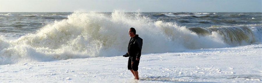
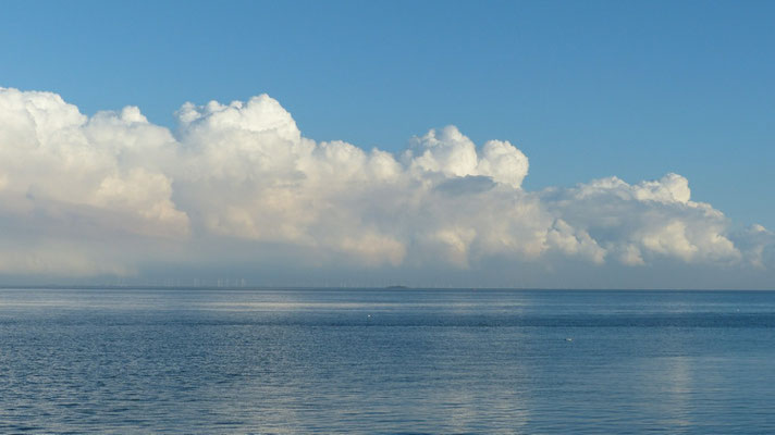
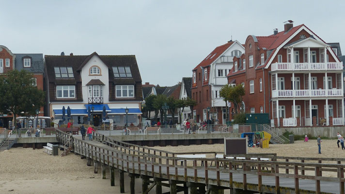
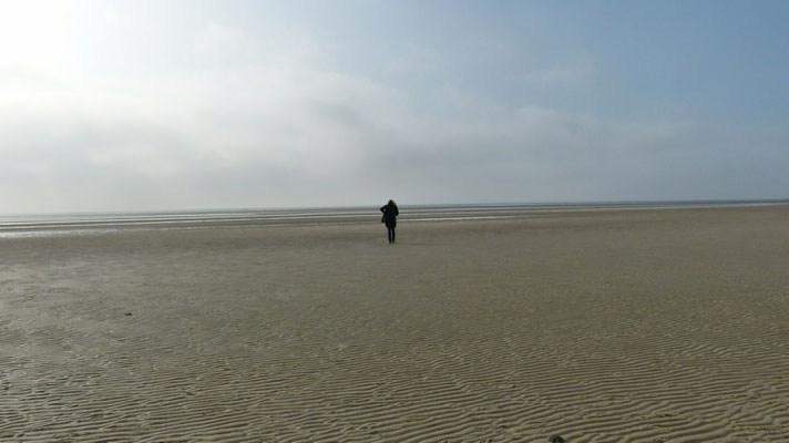
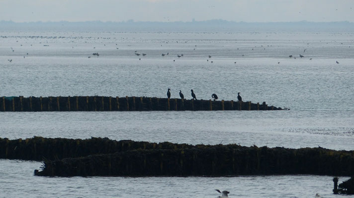
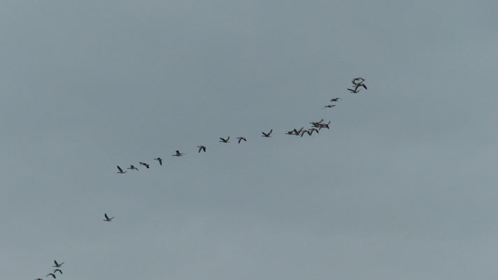
Föhr ist, wie auch die benachbarten Inseln, ein beliebtes Urlaubsziel. Vom Fährhafen Wyk zieht sich am Südrand bis etwa zur Mitte der Westküste ein 15 Kilometer langer Sandstrand. Nördlich und nordwestlich der Insel befindet sich die Schutzzone I des Nationalparks Schleswig-Holsteinisches Wattenmeer.
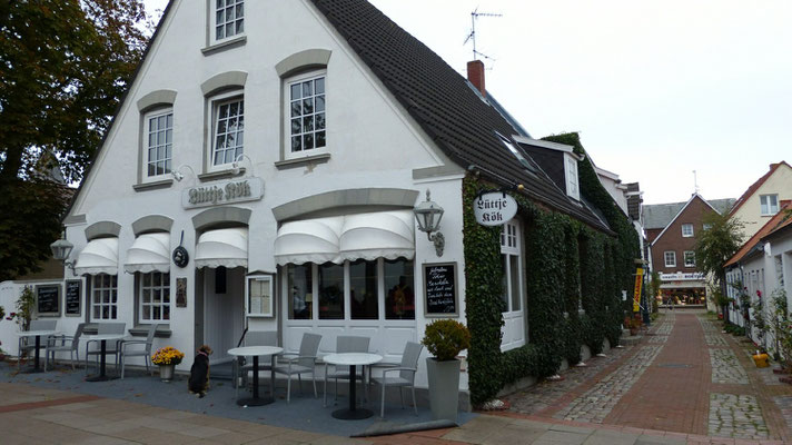
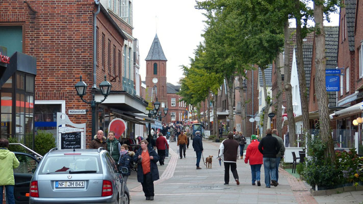
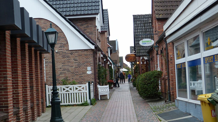
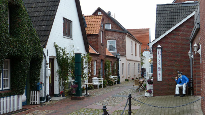
Föhr gehört zum Kreis Nordfriesland und hat 8.593 Einwohner (Stand: 31. Dezember 2011). Im Südosten der Insel liegt als einzige Stadt der Hauptort Wyk (Fering: bi a Wik), der ein staatlich anerkanntes Nordseeheilbad ist. Die 16 Inseldörfer verteilen sich auf elf Gemeinden. Wyk und alle Föhrer Gemeinden gehören zum Amt Föhr-Amrum.
(c wikipedeia)
The island of Foehr (Feer Frisian, Danish Før) belongs to the North Frisian Islands and in Schleswig-Holstein district of North Friesland. The name Foehr and the Frisian counterpart Feer have been interpreted many. The current etymological research assumes that the name Foehr has a maritime background. Another interpretation refers to Frisian feer "barren".
Fohr is located southeast of Sylt, east of Amrum and north of the islets. It is the second largest German North Sea island. Among the German islands without road or rail link to the mainland Foehr is the geographically largest island with the largest population.
Fohr is called "the green island", because it is relatively protected by their location in the lee of Amrum and Sylt before the stormy influences the North Sea and can therefore develop dieVegetation well. It is in the north-south direction, 12.5 km long and up to 8.5 km wide in the east-west direction and has an area of 82.82 square kilometers. The north of the island consists of marshland in the south Föhr is the higher ground moraine. The highest elevation is 13.2 meters above the ridge of Normalnullauf between Nieblum and Midlum. The Geest accounts for about two-fifths of the total area. Most villages are there. In the march there are many relocated farms.
Up to the first Groten Mandränke 1362 Foehr was not an island, but was part of the mainland. With the North Sea it was connected by deep currents. South of Foehr runs today Norderaue; the Amrum depth lies to the west, the east Föhrer Ley Föhr.
Foehr, as well as the neighboring islands, a popular holiday destination. From Wyk Ferry runs on the southern edge up to about the middle of the west coast is a 15 km long sandy beach. North and northwest of the island is the protection zone I of the National Park Schleswig-Holstein Wadden Sea.
Foehr belongs to the district of North Friesland and has 8,593 inhabitants (as of 31 December 2011). In the southeast of the island is the only city in the capital Wyk (Fering: a bi Wik), which is a nationally recognized North Sea spa. The 16 island villages spread over eleven municipalities. Wyk and all Föhrer communities belong to the Official Foehr-Amrum.